Other Services
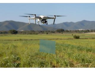
Are you looking to enhance your surveying and mapping projects? Our top-of-the-line drones for surveying and mapping offer unmatched accuracy and efficiency. With advanced aerial technology, you can easily capture high-resolution images and data, ensuring that your projects are completed on time and within budget. Ideal for construction, real estate, and environmental assessments, our drones are user-friendly and equipped with powerful software for seamless data integration. Don't miss out on the opportunity to elevate your work—contact us today for a demonstration and see the future of surveying innovation!


